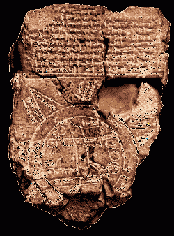
Unearth the rich tapestry of biblical history with our extensive collection of over 1000 meticulously curated Bible Maps and Images. Enhance your understanding of scripture and embark on a journey through the lands and events of the Bible.
Discover:
- Ancient city layouts
- Historic routes of biblical figures
- Architectural wonders of the Holy Land
- Key moments in biblical history
Start Your Journey Today!