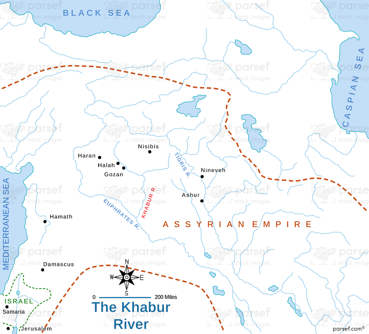
The Khabur River Map

Step back in time and embark on a journey along the historic Khabur River with this meticulously crafted map. The Khabur River, one of the principal tributaries of the Euphrates, has long been a vital artery in the cradle of civilization, Mesopotamia.
Our detailed map offers a comprehensive overview of the Khabur River's course, winding its way through the rugged landscapes of southeastern Turkey and northeastern Syria. Follow its path as it meanders through ancient settlements, fertile plains, and arid terrains, unveiling the rich tapestry of history etched into its banks.
Explore the strategic significance of the Khabur River as it served as a lifeline for numerous civilizations, facilitating trade, agriculture, and cultural exchange. Trace the remnants of ancient cities, such as Tell Brak and Tell Leilan, whose ruins bear witness to the once-thriving societies that flourished along its shores.
Immerse yourself in the geographical features of the region, from the verdant valleys nourished by the river's waters to the stark expanses of desert that contrast its fertile banks. Gain insights into the ecological importance of the Khabur River and its role in sustaining diverse flora and fauna in this semi-arid region.
Whether you're an archaeologist uncovering the secrets of the past, a historian tracing the rise and fall of empires, or an enthusiast eager to explore the legacy of ancient Mesopotamia, The Khabur River Map provides a captivating glimpse into the heart of this storied land. With meticulous attention to detail and rich historical context, this map is an indispensable companion for anyone seeking to unravel the mysteries of this timeless river.
