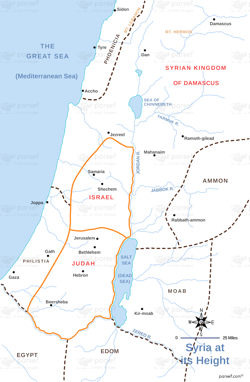
Syria at its Height Map
Embark on a journey through the zenith of ancient Syrian civilization with the "Syria at its Height Map," a meticulously detailed cartographic masterpiece that illuminates the cultural, political, and economic apex of this storied land.
From the majestic city-states of Ugarit and Ebla to the bustling metropolis of Damascus, this map offers a comprehensive overview of the vibrant tapestry of civilizations that once flourished within the borders of modern-day Syria. Trace the rise and fall of empires as they vie for dominance over this strategically vital crossroads of the ancient world.
Explore the architectural marvels of antiquity, from the towering ziggurats of Mari to the majestic ruins of Palmyra, each testament to the ingenuity and creativity of the peoples who once called Syria home. Marvel at the intricate network of trade routes that crisscrossed the region, connecting distant lands and facilitating the exchange of goods, ideas, and cultures.
Delve into the rich tapestry of cultures and religions that coexisted and intermingled within the borders of ancient Syria, from the worship of the Canaanite gods in the west to the spread of Christianity in the east. Gain insights into the contributions of Syrian scholars, artisans, and philosophers to the intellectual and artistic heritage of the ancient world.
With meticulous attention to detail and rich historical context, the "Syria at its Height Map" serves as an indispensable tool for scholars, students, and enthusiasts alike seeking to unravel the mysteries of this timeless land. Whether you're exploring the ruins of ancient cities or tracing the footsteps of legendary conquerors, this map offers a captivating glimpse into the golden age of Syrian civilization.